From Pioneer Plaza we drove over to the art museum. We are captured every time someone says Impressionists. Gotta go see what we might be missing. Not really impressed about that part of their collection, but did see a few things that I liked. There was a landscape that did an amazing job of capturing the light. Rather mesmerizing.
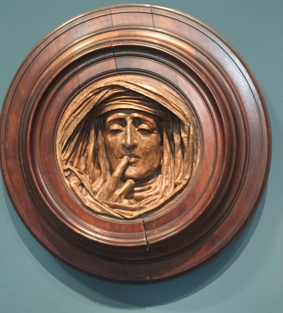
And there was this plaster sculpture photographed below. I am an Associate at an Episcopal Convent. Twice a year they offer us a silent retreat. I find it refreshing and invigorating to my spiritual life when I can actually get quiet and stay in that listening mode for a few hours. I had to send this image to them. I love it! It was designed originally for funerary purposes. But I loved it for a reminder to keep silence.

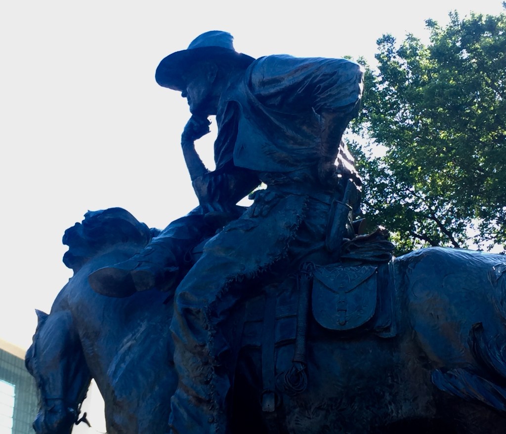
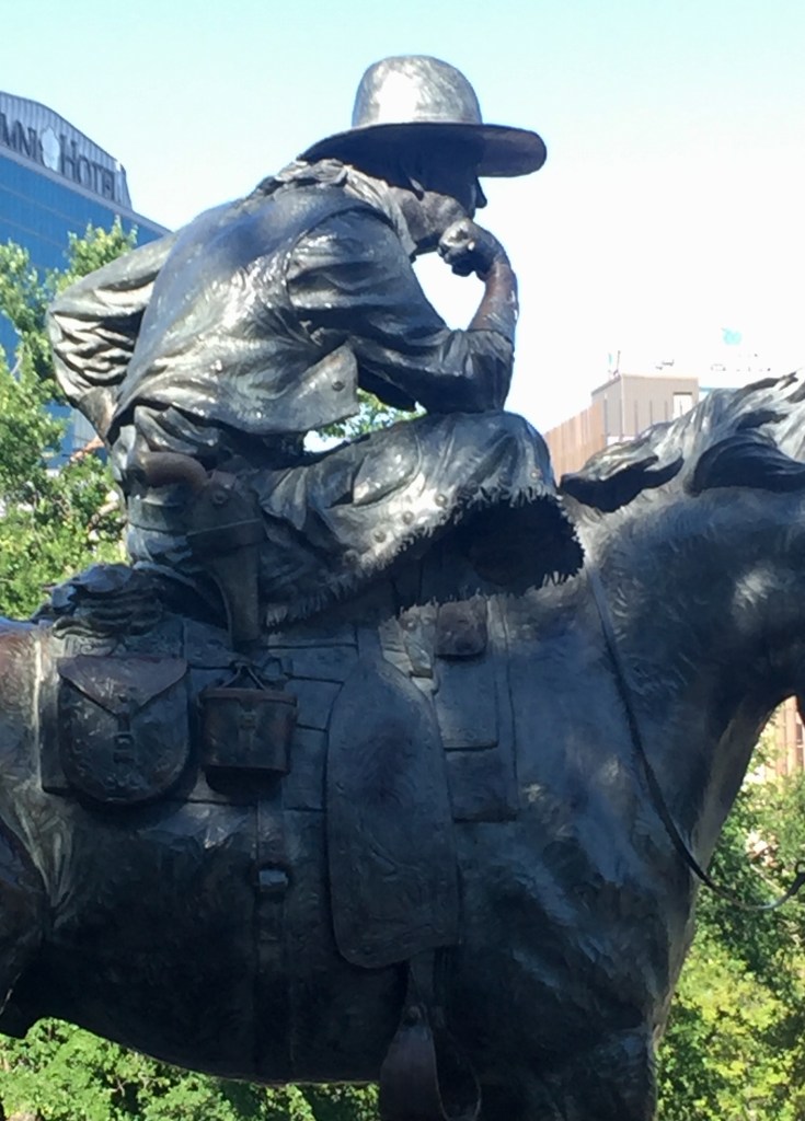
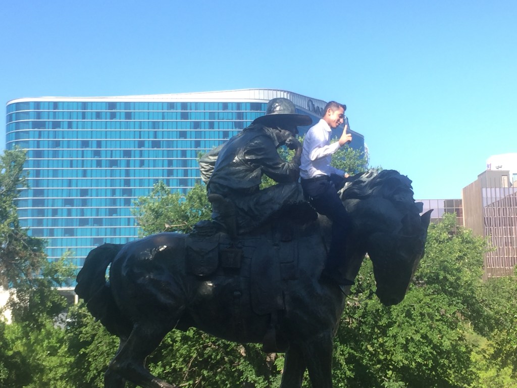
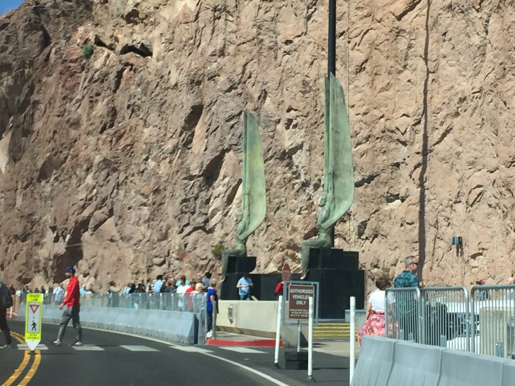
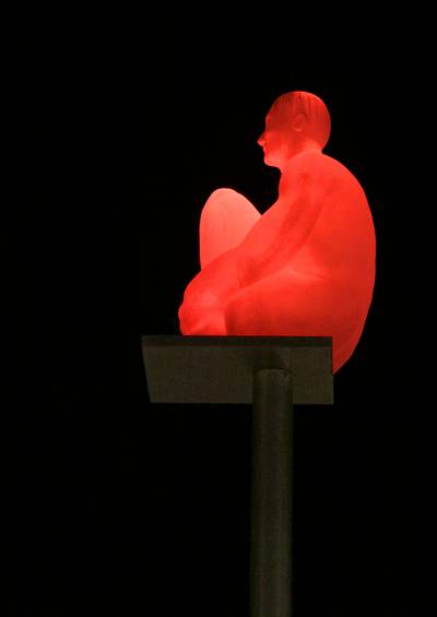
When we stepped outside of the museum another figure caught my eye. It was so unusual and the background so noisy and complicated! We have had fun researching the work.

I sensed the man was in contemplation or meditation and with the crane, skyscrapers, stop light and traffic below that effort at contemplation would be, as are most efforts at contemplation, challenging. It is actually part of the Nasher Sculpture Center, across the street from the Dallas Museum of Art. The title is La Llarga Nit , which means the long night from the poem Ausias March to Vicent Adres Estelle .
The sculptor is Jaume Plensa. You Tube says “According to the artist, this work was inspired by Catalan poet Vicent Andrés Estellés, who wrote that it is the responsibility of the poet to watch out for the whole community. “
Another site says ” Throughout his career as a sculptor, Jaume Plensa (Barcelona, 1955) has drawn on spirituality, the body and collective memory as the primary sources which tie together his visual artwork. ” He has works all over the world and has done many versions of the sculpture we saw. Bob wants to see one of the ones that light up. I found the images below online.

So as I researched this blog I scrolled through some of the other works by James Plense. Something looked familiar about one of his other works. Voila! Here is a photo I snapped from the car as we were at a stoplight in Seattle, Washington.

It is called the Meeting of the Minds, Mirror and located outside the Allen Institute for Brain Science, 615 Westlake Avenue North. I had no idea at the time what the building was called or represented.

Even this blogger learns new things when she researches what she is trying to say and show!